Welcome to
Our Shared Waters
Dashboard

Explore the crowd-sourced water quality monitoring map for the Delaware River Basin.
The Basin is made up of 10 major watersheds.
Explore the 3D map or select below to zoom to that watershed :
- Delaware Bay
- Lower Estuary
- Upper Estuary
- Lower Central
- Schuylkill Valley
- Lehigh Valley
- Upper Central
- Lackawaxen
- Neversink-Mongaup
- East-West Branch
Map Key
- Pending Content
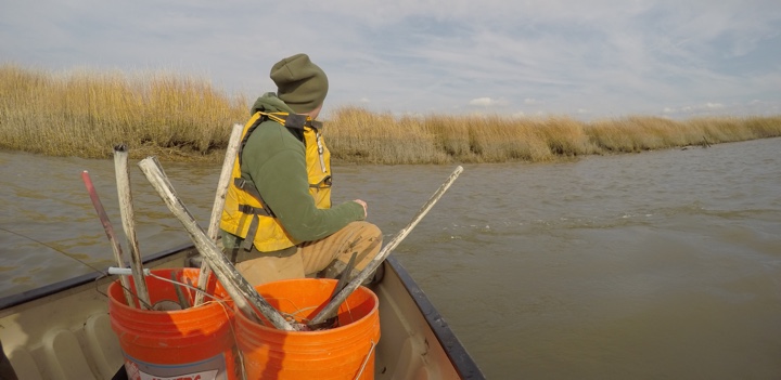
Share what YOU have seen!
Help Rate Your Waters
When you go out to visit or use any of the waterways in the Delaware Rver Basin, let us know where you went, make an observation of the health of the water with an easy 1-5 Star system, and add some pictures of what it looked like that day. We’ll combine with other observations and add it to the dashboad map here!
For Our Professional Partners
Use our common data observation/monitoring form to provide more in-depth metrics on the health and status of the river, as well as add links to your organization’s information, papers and reports, and live water quality monitoring stations. We’ll add it to the Professional’s layer of the map to share with other like minded groups and the public at large.
How it works

Record your observations
Upload to 3D map to share
Explore other shared observations
Our Shared Waters…
We need your help to protect and manage this incredible resource that brings life and happiness to over 13 million people connected along the Delaware River’s 330 miles and its many tributaries. You can’t assume any one state, agency or organization has the ability and the manpower to monitor and observe the health of the watershed across such a vast area. But together we all help observe, share, and act to preserve this greatest of natural resources.

What is the Delaware River Basin?
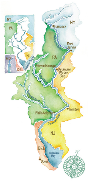
The Delaware is the longest un-dammed river in the United States east of the Mississippi, extending 330 miles from the confluence of its East and West branches at Hancock, N.Y. to the mouth of the Delaware Bay where it meets the Atlantic Ocean. It is tidal from the Delaware Bay to Trenton, N.J.; from Trenton north to its headwaters in N.Y., the river is non-tidal.
The Delaware River Basin includes all land that drains to the Delaware River in four states: New York, New Jersey, Pennsylvania and Delaware. The river is fed by 216 major tributaries, the largest being the Schuylkill and Lehigh rivers in Pennsylvania. In all, the basin contains 13,539 square miles, including the 782 square-mile Delaware Bay. Over 13 million people rely on these waters for drinking, agricultural and industrial use.
The Delaware is an interstate river its entire length; meaning whenever you are on its bank, you are looking across at another state. But the river does not divide; rather, it connects. Its waters are truly Our Shared Waters.
The Delaware River has come a long way from its polluted past, and its clean-up is hailed as one of the world’s top water quality success stories. The river now supports year-round fish populations, as well as those returning to their natal waters to spawn, for example, the American shad. Bald eagles, which depend on fish as their primary food source, reside and nest throughout the basin from the river’s New York headwaters to the Delaware Bay.
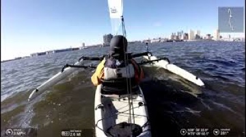
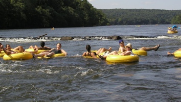
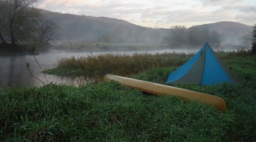
Pleasure craft marinas line waterfronts once visited only by commercial vessels, and river-based recreation is one of the region’s top economic sources. The river and many of its tributaries are flanked by attractive greenways and parks. Officially designated water trails exist for the non-tidal and a portion of the tidal Delaware River, as well as for several of its tributaries.